County Maps of U.S. States

If you are heading out, you may want to print some of the following:
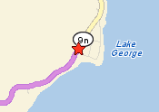
1) Yahoo! Map - a route map from your home to the nearest town.
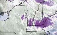
2) Weather Channel maps - satellite image showing cloud cover, doppler radar
image showing rain, regional forecast and 10-day outlook.
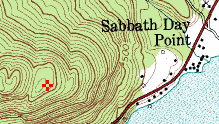
3) Topozone Maps - the most detailed topo maps for the target area.
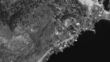
4) Terraserver Aerial photos - the most detailed aerial photos for the target
area.
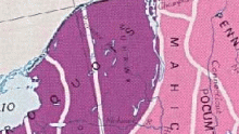
5) Early Native Boundary map - On the Smithsonian map, move the target area
to the center of your screen, then print the screen.
| Topo Maps | Aerial Photos | Terrain Shapes | |||
 |
|
 |
|||
|
Move the red crosshair with clicks. The heading of the map shows the GPS coordinates for the red crosshair. Write down the GPS coordinates of the target spot. Print these maps in color. |
Click image above. Search Terraserver for the nearest town to the location. Use the controls to move to location. Unfortunately there are no red crosshairs on Terraserver, but it does have the best aerial photos (better than Google Maps). Print these in grayscale. |
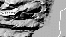
Select the elevation to see shape of terrain. The maps get fuzzy when you zoom in too far. Print these in gray scale. |
|||
| USGS Landsat Infrared (click here). | |||||
|
|
|||||
| Your Route | Weather Maps | Tribal Maps | |||
 |
 |
 |
|||
| Click image - Yahoo Maps. Scroll to bottom to get new directions. Enter name of town (with no address) as destination, and your address as the start-from location. Print these maps in color. |
Click image above. Search Weather Channel for the nearest town to the location. Print all weather images in color - the satellite images, the radar images and the forecast images. |
Print a map showing early native territorial boundaries (see links below). Their relevance will be explained during the trip. Eastern U.S. Tribal Areas -- click here. |
|||
|
|
|||||
|
|||||
|
|||||
